Fieldworks

Tasiilaq 2025: When katabatic winds topple a station

Our team of three flew to Tasiilaq to service the two GC-Net stations TAS_L and TAS_A. The first few days were grounded by bad weather, which gave us time to troubleshoot a new data logger intended for TAS_L that, frustratingly, remained silent during our tests. With great support from our station engineers back in Denmark, we identified a faulty connection in the data logger and managed to repair it before the first good-weather days of the trip.
GC-Net South 2025: Unstable weather and cold day at NASA-U

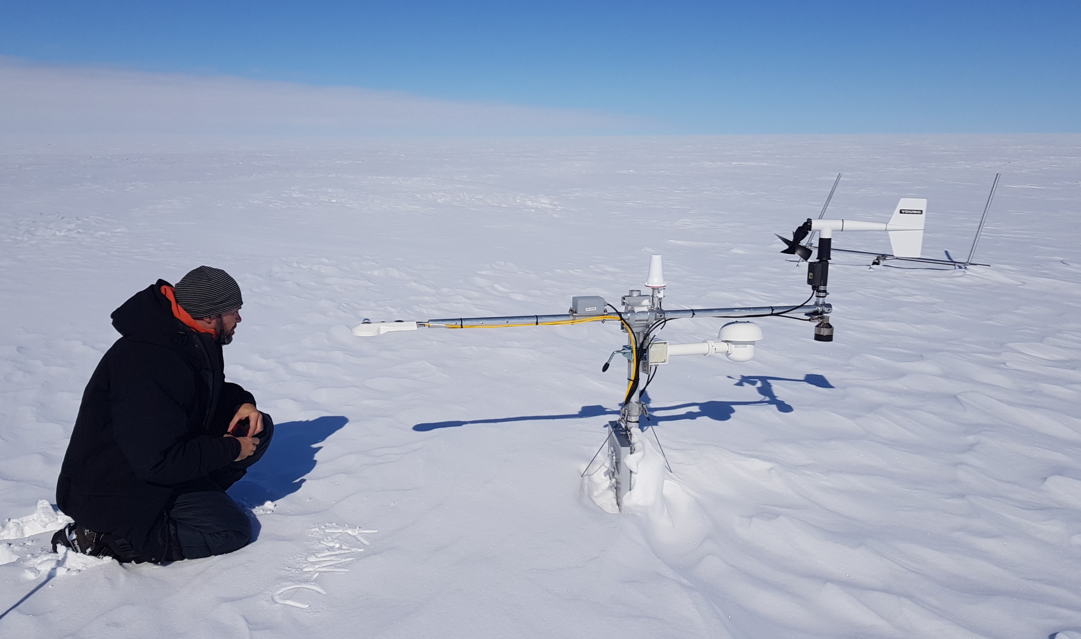
The GC-Net South 2025 field campaign was defined by rough weather from the start. Storms rolling in from Iceland pushed us away from Kangerlussuaq and the southern stations, so we headed north in search of clearer skies—though the tradeoff was colder conditions. Our first stop was Crawford Point (CP1), with an overnight in Ilulissat. The next day, we reached NAU, which hadn’t seen a full maintenance since 2022 and clearly needed attention. Temperatures dropped to -25°C with 12 m/s winds, giving a brutal wind chill of -40°C. A close call with frostbite reminded us: in these conditions, there’s no room for exposed skin.

GC-Net South 2024: Stuck at South Dome

We visited DYE-2, KAN_U, Saddle, Crawford Point, NASA-SE and even South Dome where we got stranded for 8 hours due to sticky snow, thin air and low winds, making it impossible for the twin otter to take off.

GC-Net 2023: weather station maintenance, South Greenland

Weather station maintenance in South Greenland. We visited KAN_U, DYE-2, South Dome, Saddle, NASA-SE and Crawford Point. As the worried look on Andreas’ face indicates, KAN_U was standing in rather poor shape and almost buried in snow when we arrived. Maintenance was most needed! image not found

FirnCoVer 2017: Snowmobile traverse on the ice sheet to investigate the Greenland ice sheet firn layer

This fieldwork was my second field season on the Greenland ice sheet with the FirnCover project, and it built directly on the momentum of the year before. We started in April, gathering in Kangerlussuaq to prep gear and load skidoos, fuel drums, science equipment, and weeks’ worth of supplies. After a few days of sorting and staging, we flew by LC-126 to Camp Raven (DYE-2), where the real work began.

FirnCoVer 2016: Snowmobile expedition to study the firn layer of the Greenland ice sheet

2016 was my first ever expedition on the Greenland ice sheet—an unforgettable and intense introduction to polar fieldwork. As part of the FirnCover project, I joined a team of 11 scientists from four countries, led by Mike MacFerrin. We were dropped off at DYE-2 with everything needed for a fully self-supported campaign: skidoos, drums of fuel, tents, food for weeks, and all our scientific gear. From there, we spent about ten days traversing across southern Greenland by snowmobile, covering hundreds of kilometers over wind-swept sastrugi and stopping at key sites like KAN-U and EKT to drill firn cores, dig snow pits, service GPS compaction stations, and maintain AWS instruments.

Master’s Thesis project, 2015: Distributed measurements of snow thickness in Greenland and Svalbard

The first fieldwork that I organized, along with the two friends I was writing my thesis with. We travelled twice to Longyearbyen, Svalbard, and twice to Sisimiut, Greenland. During the summer trip, we established 3D maps of the bare ground at our study sites. During the winter trips we surveyed the spatial distribution of snow at our sites either making 3D mapping of the snow surface from pictures taken by a drone, that we could then compare to the 3D model of the bare ground, or with a ground penetrating radar and other traditional methods (snowpit and probing). During each measurement campaign, GPS surveys were conducted to tie our successive 3D models to common reference points.