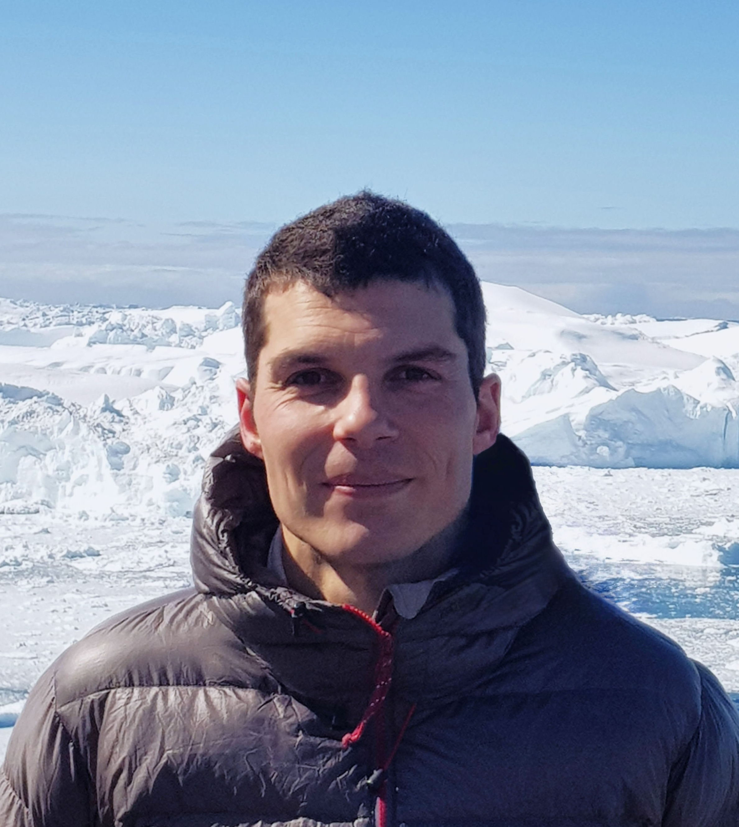
Master’s Thesis project, 2015: Distributed measurements of snow thickness in Greenland and Svalbard
The first fieldwork that I organized, along with the two friends I was writing my thesis with. We travelled twice to Longyearbyen, Svalbard, and twice to Sisimiut, Greenland. During the summer trip, we established 3D maps of the bare ground at our study sites. During the winter trips we surveyed the spatial distribution of snow at our sites either making 3D mapping of the snow surface from pictures taken by a drone, that we could then compare to the 3D model of the bare ground, or with a ground penetrating radar and other traditional methods (snowpit and probing). During each measurement campaign, GPS surveys were conducted to tie our successive 3D models to common reference points.


