FirnCoVer 2016: Snowmobile expedition to study the firn layer of the Greenland ice sheet
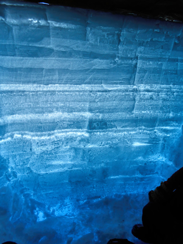
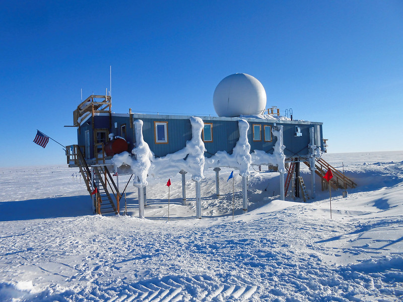
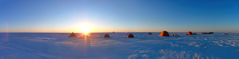
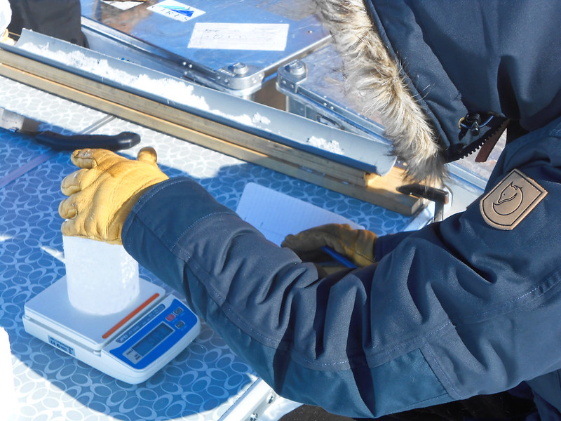
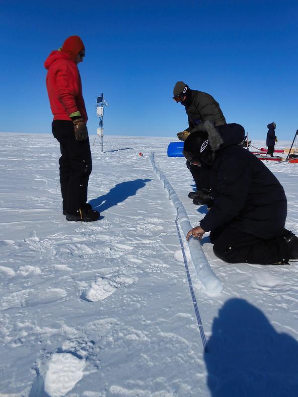
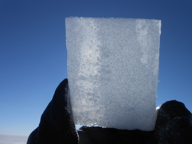
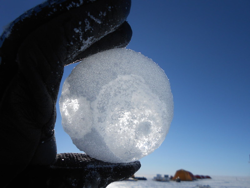
2016 was my first ever expedition on the Greenland ice sheet—an unforgettable and intense introduction to polar fieldwork. As part of the FirnCover project, I joined a team of 11 scientists from four countries, led by Mike MacFerrin. We were dropped off at DYE-2 with everything needed for a fully self-supported campaign: skidoos, drums of fuel, tents, food for weeks, and all our scientific gear. From there, we spent about ten days traversing across southern Greenland by snowmobile, covering hundreds of kilometers over wind-swept sastrugi and stopping at key sites like KAN-U and EKT to drill firn cores, dig snow pits, service GPS compaction stations, and maintain AWS instruments.
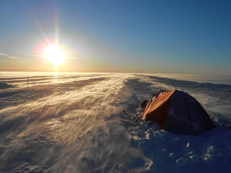
The weather was relentless. At KAN-U, we were hit by whiteout conditions and high winds that forced us to hunker down in our tents for hours. We had trouble with one of the skidoos and spent half a day making field repairs with numb fingers. After returning to DYE-2, a strong storm rolled in, pinning us inside the tents again for nearly 48 hours, with gusts that shook the fabric all night. We had to dig out buried gear and spent a full day drying out frozen boots and sleeping bags before continuing.
When the skies cleared, we transitioned to the second phase of the campaign using a ski-equipped Twin Otter to reach remote sites including Crawford Point, Summit, and EastGRIP. At Summit, in a burst of calm weather and high efficiency, we managed to drill what may have been the fastest 16-meter firn core in history. Each site offered new challenges—cold fingers, flat light, shifting flight schedules—but also new insight into how Greenland’s snow and firn are changing. That field season didn’t just teach me polar science, it pulled me into it fully.